
Few roads have shaped the history, economy and daily life of Panama as profoundly as the Interamericana Highway, better known in English as the Pan American Highway. Stretching across the entire country from the Costa Rican border in the west to the edge of the Darién Gap in the east, this remarkable highway is much more than a strip of asphalt. It is the backbone of Panama's transportation network, the country's busiest commercial corridor, and the route that countless tourists follow as they discover volcanoes, cloud forests, beaches, national parks and vibrant cities. Whether you are a truck driver hauling goods across Central America, a backpacker crossing the continent by bus, or a family embarking on a road trip, sooner or later your journey will almost certainly take you onto the Interamericana.
The highway forms part of the legendary Pan American Highway, often described as the world's longest road system. Beginning in Alaska and running south through Canada, the United States, Mexico and every mainland country in Central America before reaching South America, it would theoretically allow someone to drive nearly the entire length of the Americas. The only interruption is the famous Darién Gap between Panama and Colombia, where approximately 100 kilometres of dense rainforest remain roadless. This wild region, protected by rugged terrain, national parks and Indigenous territories, has resisted every serious attempt to complete the highway. As a result, Panama occupies a unique position as the southern end of the drivable road network in North America.
Entering Panama from Costa Rica at Paso Canoas, the Interamericana immediately becomes one of the country's most important transportation arteries. Trucks carrying fruit, coffee, electronics, manufactured goods and agricultural products cross the border every day, while thousands of travellers begin or end their Panamanian adventure here. The border itself is lively, filled with customs offices, money changers, roadside restaurants and shops catering to the constant stream of international traffic.
Almost immediately after crossing into Panama, the highway enters the fertile province of Chiriquí, often called the country's agricultural heartland. This region supplies much of Panama's vegetables, dairy products, beef and coffee. The scenery changes constantly as the road passes cattle ranches, rice fields, banana plantations and sugar cane farms. On clear mornings, the magnificent silhouette of Volcán Barú dominates the horizon. Rising to 3,475 metres, it is the highest mountain in Panama and the only place in Central America where, under perfect conditions, both the Pacific Ocean and Caribbean Sea can sometimes be seen from the summit.
The city of David is the first major urban centre encountered along the highway and serves as western Panama's commercial capital. Here the Interamericana becomes particularly busy, with traffic flowing between supermarkets, shopping centres, universities and industrial districts. David is also an important gateway. Travellers leave the highway here to visit Boquete, famous for its cool mountain climate, coffee farms and cloud forests, or head south to the Pacific beaches of Las Lajas and Boca Chica.
Continuing eastward, the landscape becomes increasingly varied. Rolling green hills gradually replace the broad plains, while occasional roadside fruit stalls tempt motorists with fresh pineapples, watermelons, mangoes and coconuts. Small villages appear every few kilometres, each with its own churches, schools, football fields and local restaurants serving traditional Panamanian meals. The rhythm of life slows noticeably compared with the capital, and the highway provides a fascinating window into rural Panama.
The province of Veraguas occupies a special place along the route because it is the only Panamanian province with coastlines on both the Caribbean and Pacific Oceans. The Interamericana passes through the provincial capital of Santiago, one of the country's most important crossroads. Here travellers heading to Santa Catalina leave the highway and continue southwest toward one of Panama's most celebrated surfing destinations and the jumping off point for Coiba National Park. Every year thousands of divers and whale watchers make this detour before returning to the Interamericana to continue their journey.
East of Santiago the road traverses extensive cattle country and gently undulating farmland. This section offers a glimpse into Panama's agricultural economy, with vast ranches stretching toward distant hills. During the rainy season the countryside turns an almost impossibly vivid green, while the dry season paints the landscape in golden tones that contrast beautifully with scattered tropical trees.
The provinces of Coclé and Herrera introduce visitors to another side of Panama. Sugar cane fields become increasingly common, feeding the country's rum industry, including the famous Ron Abuelo distillery in Pesé. Nearby towns celebrate traditional Panamanian festivals, folklore and handicrafts that preserve customs dating back centuries. Although many tourists speed through this region on their way to beaches or mountains, those who stop often discover charming colonial towns and warm local hospitality.
As the highway approaches El Valle de Antón, one of Panama's most famous mountain destinations lies only a short detour away. Hidden inside the crater of an extinct volcano, El Valle enjoys a cooler climate than the surrounding lowlands and attracts visitors with waterfalls, hiking trails, hot springs and one of the country's best artisan markets. The easy access provided by the Interamericana has helped transform El Valle into one of Panama's favourite weekend escapes.
Eventually the highway reaches the outskirts of Panama City, where quiet rural scenery gives way to multilane expressways, towering skyscrapers and heavy traffic. Here the Interamericana merges into the capital's complex road network, connecting with the Corredor Sur, Corredor Norte and other major arteries that carry commuters across one of Latin America's most modern cities. The contrast between rural cattle ranches in western Panama and the glittering skyline of Panama City perfectly illustrates the country's extraordinary diversity.
For many travellers, Panama City marks the end of the journey. Yet the Interamericana continues eastward through Panamá Este toward Chepo and eventually Yaviza. Beyond Chepo the scenery begins changing once again. Population density decreases, forests become denser and rivers more frequent. Indigenous communities become increasingly common, while wildlife sightings become more likely.
Finally the highway reaches Yaviza, the end of the paved road. Here one of the world's greatest road journeys comes to an abrupt halt. Beyond lies the legendary Darién Gap, a wilderness of dense rainforest, rivers, mountains and swamps that has prevented the completion of the Pan American Highway for decades. There are no roads leading into Colombia. Instead, travellers wishing to continue south must transport themselves by boat or airplane. This unique ending gives the Interamericana in Panama an almost mythical quality. After thousands of kilometres of uninterrupted driving across continents, civilisation simply gives way to one of Earth's last great wildernesses.
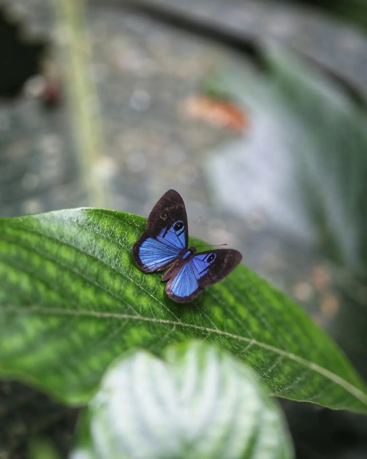
Driving the Interamericana is also an opportunity to experience Panama's astonishing biodiversity. Depending on the season and location, travellers may see white egrets feeding beside flooded rice fields, hawks circling overhead, troops of monkeys near forested stretches, colourful butterflies crossing the road, or even sloths in roadside trees. During the rainy season, flowering trees burst into brilliant colours while countless rivers swell beneath the highway's bridges.
The road also serves as an economic lifeline. Virtually every major product moving across Panama spends time on the Interamericana. Fresh vegetables from Chiriquí, coffee from Boquete, cattle from Veraguas, seafood from both coasts, manufactured goods arriving from Panama City and imported products crossing from Costa Rica all travel this route. Without the highway, Panama's economy would function very differently.
For tourists, the Interamericana offers extraordinary flexibility. Renting a car allows travellers to create their own itinerary, stopping whenever a scenic viewpoint, roadside café or hidden attraction catches their eye. Modern service stations, restaurants and supermarkets appear regularly, making long distance driving relatively straightforward. Comfortable long distance buses also use the highway, linking nearly every major city and town with reliable daily services. Shuttle companies connect many tourist destinations using the same route, while truck stops and roadside diners offer authentic glimpses into everyday Panamanian life.
One of the highway's greatest pleasures is the ever changing scenery. Within a single day a traveller might drive past cloud shrouded volcanoes, fertile farmlands, cattle ranches, tropical forests, sugar cane fields, bustling market towns, gleaming skyscrapers and dense jungle. Few countries offer such dramatic geographical variety along one continuous road.
Sunrise along the Interamericana often reveals mist rising from valleys while distant mountains glow in soft morning light. By afternoon tropical rain showers may briefly transform the landscape before brilliant sunshine returns. At sunset the Pacific sky frequently erupts in spectacular shades of orange, pink and crimson, creating unforgettable scenes for those still on the road.
For adventurous overlanders travelling from Alaska toward the southern tip of South America, Panama represents both a milestone and a challenge. Reaching Yaviza means completing the drivable section of one of the greatest road journeys on Earth. From there, vehicles must be shipped around the Darién Gap before continuing through Colombia and onward toward Patagonia. Thousands of motorcyclists, cyclists and four wheel drive enthusiasts have celebrated reaching this symbolic endpoint.
The Interamericana Highway is far more than a means of getting from one destination to another. It tells the story of modern Panama itself. It links Indigenous communities with modern cities, connects farmers with international markets, carries tourists to world famous attractions and serves as the thread binding together one of Latin America's most geographically diverse countries. Every kilometre offers new landscapes, new cultures and new discoveries.
Whether you travel its entire length or only a short section, the Interamericana is one of Panama's greatest journeys. It is a road where volcanoes rise above coffee plantations, tropical forests meet cattle ranches, colonial traditions coexist with modern skyscrapers and every bend promises another glimpse into the remarkable country that lies between two oceans. Few highways anywhere in the world offer such an unforgettable combination of history, scenery, culture and adventure.