The Coastal Identity of Panama
Panama’s coastline stretches across two completely different oceans, and that split personality defines travel here more than anything else. Caribbean waters glow turquoise and calm, while the Pacific shifts dramatically with tides that reveal vast sand flats at low water. The coast isn’t one uniform experience — it’s a mosaic of fishing villages, surf hubs, island communities, resort corridors, and quiet local beaches that change character every few hours with the movement of the sea.
The Caribbean archipelago of Bocas del Toro remains one of the most recognizable coastal environments in Central America. Wooden homes painted in bright tropical colors stand above calm water, boats replace taxis, and jungle presses right to the shoreline. The beaches vary wildly within minutes — from calm swimming coves to open surf breaks. Travelers come for snorkeling, island hopping, and social energy that never feels rushed.
Further east, the San Blas Islands in the Guna Yala region form one of the most visually striking coastal landscapes in the hemisphere. Tiny sand islands rise just above sea level, ringed by coral reefs and shaded by palms. These islands represent dozens of distinct beach environments rather than a single destination. Some are inhabited by small indigenous communities, while others remain untouched. The experience is defined by simplicity — salt air, clear water, and the rhythm of the sea.
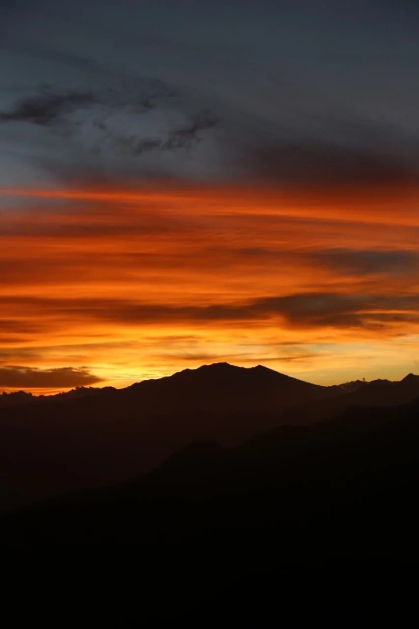
On the Pacific side, Playa Venao curves into a perfect crescent where steady waves attract surfers from around the world. The town has evolved from a remote surf stop into a full beach community with hostels, cafés, and open-air restaurants that face the ocean. Sunsets stretch wide across the horizon, and the shoreline becomes a social gathering point every evening.
The fishing village of Santa Catalina represents another type of Pacific coastline. It grew slowly around a small harbor and remains closely connected to the ocean that supports it. The beach itself is simple and natural, but the surrounding waters hold extraordinary marine life. It feels like a gateway to wilderness rather than a resort town.
Pedasí anchors the southern Azuero Peninsula with traditional coastal life and access to multiple nearby beaches including El Toro, Arenal, and El Cascajal. The shoreline alternates between rocky outcrops and wide sandy stretches shaped by strong Pacific tides. Culture remains visible here — fishing boats, festivals, and family-run restaurants create continuity between land and sea.
The Riviera Pacífica corridor west of Panama City introduces another coastal personality entirely. Coronado, Gorgona, San Carlos, and Playa Blanca form a chain of accessible beach communities where infrastructure meets ocean scenery. These beaches are known for long walks, weekend escapes, and the kind of accessibility that allows quick transitions from city life to open horizon.
Punta Chame stretches dramatically into the ocean, creating miles of wind-swept sand ideal for kitesurfing and long solitary walks. Veracruz offers a social coastal environment where locals gather for food and sunset views. Farallón provides resort-style relaxation while nearby beaches like Río Hato and Santa Clara maintain quieter rhythms.
The Pearl Islands scattered across the Pacific add another dimension to Panama’s coastal identity. Contadora, Saboga, Isla del Rey, and dozens of smaller islands create isolated beach environments reachable by boat or small plane. These islands vary from polished white sand beaches to rugged coastlines shaped by volcanic rock.
Along Colón’s Caribbean coast, Isla Grande and Portobelo reveal a blend of beach scenery and layered history. Fort Sherman offers a more secluded shoreline framed by forest. Costa Arriba’s scattered beaches remain largely untouched by development.
Across both oceans, Panama’s coast includes dozens more communities and beaches that rarely appear in travel headlines but shape the true coastal experience. Places like Playa Malibú, Río Mar, Playa Corona, Playa Teta, Playa Hermosa, Playa Barqueta, Punta Burica, Playa Bluff, Red Frog Beach, Starfish Beach, Playa Estero, and Playa Las Lajas each present distinct environmental and cultural identities.
Taken together, Panama’s coast isn’t defined by one famous beach but by variety — social beaches, wild beaches, village beaches, surf beaches, island beaches, and hidden local shores that reward curiosity.
---
The Vertical Shift — Entering the Highlands
Leaving the coast behind in Panama doesn’t simply mean going inland. It means entering an entirely different climate, landscape, and rhythm of life. Within a few hours of sea level, elevation rises dramatically and the environment transforms from humid shoreline to cool mountain forest.
The highland town of Boquete sits in a green valley shaped by volcanic soil and flowing rivers. Coffee farms climb surrounding slopes, mist drifts through the hills, and the air remains refreshingly cool. The region offers hiking, birdwatching, and agricultural culture in equal measure.
Inside a massive extinct volcanic crater lies El Valle de Antón, a highland community surrounded by steep green walls. Waterfalls cascade down crater sides, hot springs bubble from the earth, and markets reflect a long tradition of mountain living. The environment feels enclosed yet expansive at the same time.
Cerro Punta and Volcán sit near the country’s highest peak, where elevation supports cool weather agriculture and sweeping views across layered mountain ridges. These towns represent Panama’s agricultural highlands — a landscape of farms, forests, and cloud cover that moves slowly across the terrain.
Beyond these well-known highland centers lies an extensive network of mountain communities that collectively define Panama’s interior identity. Santa Fé in Veraguas offers waterfalls and forest trails. Cerro Azul provides a cool refuge near the capital. Altos del María presents a planned mountain community surrounded by protected forest.
The highlands include dozens more villages and rural settlements scattered across Chiriquí, Veraguas, Coclé, and Panamá provinces. Places such as Jaramillo, Bajo Mono, Río Sereno, San Andrés, Las Nubes, El Cope, Los Algarrobos, Quebrada Piedra, Las Llanas, Santa María, La Penita, and Escobal each contribute to a patchwork of mountain environments shaped by elevation and rainfall.
Higher still, deep in the cloud forest above Boquete, sits Lost and Found Hostel. Unlike towns that grow around roads or farms, this jungle mountain base exists inside the forest itself. Trails begin directly from the property, leading into dense vegetation, river canyons, and viewpoints that reveal the scale of Panama’s interior landscape.
Travelers reach the area easily from Boquete by shuttle or public transport, making it accessible while still feeling remote. The elevation brings cooler temperatures, and the surrounding forest hosts wildlife that rarely appears at lower elevations. Community dinners, guided hikes, waterfall adventures, and social evenings create a strong shared atmosphere among travelers.
---
The Geography That Connects Coast and Highlands
Panama’s compact geography allows travelers to move between environments quickly, but the transition feels dramatic. Within a single day, it’s possible to begin at a Caribbean beach, cross central mountains, and end at a Pacific shoreline. This vertical diversity creates one of the most concentrated landscape variations in the Americas.
Coastal heat gives way to mountain coolness. Ocean horizons transform into layered ridgelines. Palm trees fade into cloud forest vegetation. Fishing villages transition into agricultural communities. The change is not gradual — it is immediate and unmistakable.
This is why Panama supports such an extensive network of both coastal and mountain settlements. Beaches shape culture along the oceans, while elevation shapes culture inland. Together they form two complementary identities rather than competing ones.
---
Coastal Life Versus Highland Life
Life along the coast revolves around tides, fishing, and ocean access. Communities grow around harbors, surf breaks, or protected bays. Even developed beach areas remain connected to the sea’s rhythms. Days often begin early to avoid midday heat and end with sunset gatherings near the water.
Mountain communities follow different patterns. Cooler temperatures allow for slower pacing throughout the day. Agriculture replaces fishing as the primary livelihood. Forest and rainfall shape the environment more than tides. Visibility shifts constantly with cloud cover moving across ridges.
Travelers moving between these environments often describe the shift as a reset. The sensory experience changes — sound, temperature, vegetation, and even light quality feel different.
---
Why Travelers Combine Both Regions
Panama encourages a travel style built on contrast. Visitors who experience only beaches miss the depth of the interior. Those who stay only in the mountains miss the country’s ocean identity. The true experience emerges from combining both.
Backpackers often move from surf towns like Playa Venao or Santa Catalina into the highlands around Boquete. Others begin in Caribbean island environments and later seek cooler temperatures inland. The journey between elevations becomes part of the adventure itself.
Hostels and community-focused accommodations play an important role in connecting these experiences. Places that offer guided hikes, shared meals, and social spaces help travelers transition from coastal exploration into deeper engagement with the landscape.
That’s exactly where a jungle mountain hub like Lost and Found fits into the travel route — not as a replacement for beaches, but as a complementary environment that reveals Panama’s vertical diversity.
---
The Full Spectrum of Panama’s 120 Highlighted Destinations
Across Panama’s two coastlines and mountainous interior exist more than 120 notable travel locations when beaches, island communities, surf hubs, crater towns, agricultural highlands, and forest villages are counted together. Some are globally known. Many remain local secrets. All contribute to a country defined by geographic diversity rather than a single defining landmark.
From Caribbean island chains and Pacific surf bays to volcanic crater towns and cloud forest retreats, Panama offers one of the most condensed travel landscapes in the tropics.
---
Closing Reflection
Panama is often described through its canal, but its true identity lives in elevation change and coastal contrast. Beaches stretch in every direction, while mountains rise sharply from lowland heat. Travel here isn’t just about visiting destinations — it’s about moving vertically through environments that feel worlds apart yet exist within a few hours of each other.
For travelers passing through the country — especially those exploring Chiriquí’s highlands — time spent in the mountains reveals a quieter side of Panama that balances the energy of the coast. A place like Lost and Found, surrounded by forest above Boquete, represents that transition perfectly: accessible yet remote, social yet immersed in wilderness, elevated yet connected to the broader travel route that links beaches and highlands together.