Panama is one of those rare places where geography does not just describe the land, it explains the entire identity of the country. It is a narrow isthmus, a land bridge between two continents and two oceans, and a biological, climatic, and geological intersection point that has shaped global history in ways most people never fully realize. At its narrowest point, Panama is only around 50 kilometers from the Caribbean Sea to the Pacific Ocean, yet within that short distance you pass through dense rainforest, mountain ranges, river systems, volcanic highlands, and one of the most important engineering projects in human history, the Panama Canal.
Geologically speaking, Panama is young. The isthmus began forming roughly 3 million years ago when tectonic plates slowly pushed up volcanic and seabed material until the ocean gap between North and South America finally closed. This event did not just change local geography, it changed the entire planet. Ocean currents were redirected, global climate patterns shifted, and two previously separate continents suddenly became connected. This allowed the Great American Biotic Interchange, one of the most significant ecological migrations in Earth’s history, where animals, plants, and entire ecosystems began moving north and south across the new land bridge. Species like jaguars, opossums, and armadillos moved northward, while horses, deer, and other northern species moved southward, reshaping biodiversity across an entire hemisphere.
Modern Panama sits in the tropics just above the equator, which means the country does not experience four traditional seasons. Instead, it has a dry season and a rainy season, but even these vary dramatically depending on geography. Rainfall patterns can change completely within just a few kilometers due to elevation and wind direction. The Caribbean side of the country is significantly wetter than the Pacific side because moist trade winds from the Atlantic hit the northern mountain slopes first, rising and releasing heavy rainfall. This creates lush rainforests, cloud forests, and extremely humid ecosystems on one side, while the southern side often experiences drier, more open landscapes.
One of the most fascinating aspects of Panama is how quickly its environment changes. You can travel from Caribbean beaches to Pacific coastlines in a few hours, crossing mountain ranges and valleys in between. The country does not stretch far east to west in a straight line, instead it bends, narrows, and expands in irregular shapes that make ecosystems extremely varied. This is why Panama contains such a high level of biodiversity relative to its size, it is not a uniform tropical country, but a compressed mosaic of different ecological zones stacked on top of each other.
The northern coastline of Panama, facing the Caribbean Sea, is characterized by turquoise water, coral reefs, mangrove forests, and island archipelagos. One of the most famous regions is Bocas del Toro, a network of islands, lagoons, and jungle covered shorelines that feel more like a Caribbean marine ecosystem than a continental coastline. The southern Pacific coast, in contrast, is much larger, more exposed, and shaped by massive tidal changes. Here you find wide estuaries, long beaches, muddy flats, and strong ocean currents that influence fishing, transportation, and coastal ecosystems. These two coasts are part of entirely different ocean systems, yet they exist within the same country and are separated by only a few hours of travel.
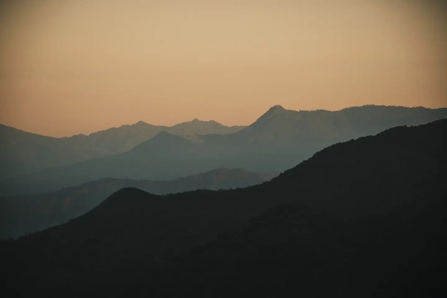
Running through the center of the country is a spine of mountains and volcanic highlands known as the Cordillera Central. This mountain chain is responsible for much of Panama’s climatic diversity. Peaks such as Volcán Barú rise over 3,400 meters above sea level, creating dramatic temperature shifts over short distances. At the summit of Volcán Barú, on exceptionally clear days, it is one of the few places on Earth where it is theoretically possible to see both the Atlantic and Pacific Oceans simultaneously. This is not because the oceans are unusually close visually, but because Panama is both narrow and elevated enough to allow such a rare line of sight.
These highlands also create a strong rain shadow effect. Moist air from the Caribbean side rises up the mountains, cools, and drops large amounts of rain on the northern slopes. By the time the air reaches the southern side, it is drier, creating distinct ecological zones within short distances. This is why cloud forests, dry tropical forests, and wet lowland jungles can exist only kilometers apart in Panama, a level of ecological compression that is rare globally.
One of the most important ecological and infrastructural regions in the country surrounds the canal watershed. Areas such as Fortuna Forest Reserve and surrounding protected forests play a critical role in regulating water flow into lakes and rivers that supply the canal system. Without consistent rainfall in these forested zones, the entire water dependent lock system of the canal would be affected. This means that Panama’s rainforests are not just biodiversity reserves, they are also part of global shipping infrastructure.
The presence of the canal itself has fundamentally altered Panama’s geography. The Panama Canal effectively cuts through the natural landscape, connecting artificial lakes, river systems, and engineered locks into a continuous water route. The creation of Gatun Lake, for example, transformed large inland forested areas into a massive artificial reservoir, essentially forming an inland sea that supports both navigation and ecological systems. This blending of natural and artificial geography is one of the most unusual features of any country in the world.
Panama is also one of the most biologically important land bridges on Earth. Because it connects two major continents, it acts as a migration corridor for wildlife. Species from North America and South America overlap here more than almost anywhere else. Jaguars, pumas, and monkeys from South America coexist with deer, coyotes, and northern bird species, depending on region and elevation. This makes Panama one of the most biodiverse countries per square kilometer globally, despite its relatively small land area.
The climate variation is also extreme for such a small country. In a single day of travel, you can experience coastal heat, humid jungle air, cool mountain temperatures, and dry inland plains. This is caused by a combination of ocean proximity, elevation changes, and shifting wind patterns from both the Atlantic and Pacific systems. Few countries compress so many climate zones into such a small geographic footprint.
Panama’s river systems are relatively short compared to large continental rivers, but they are extremely important. The Chagres River is one of the most significant, feeding directly into the canal system and forming part of the engineered water network that allows ships to cross the isthmus. Without rivers like the Chagres, the canal could not function as a freshwater lock system, because it depends on rainfall and reservoir storage rather than seawater.
Urban geography in Panama City adds another layer of complexity. The city sits directly on the Pacific coast but is surrounded by rainforest hills, mangroves, and protected natural zones. Skyscrapers rise next to jungle covered mountains, and financial districts sit minutes away from wetlands and coastal ecosystems. This creates one of the most visually extreme urban contrasts in the world, where global finance and tropical wilderness exist side by side.
The coastline itself is highly irregular, especially on the Pacific side, where large bays like the Gulf of Panama create vast tidal zones. During low tide, kilometers of mudflats and mangroves are exposed, while high tide brings water deep into coastal ecosystems. On the Caribbean side, the coastline is more fragmented, with coral reefs, lagoons, and island chains dominating the landscape. These differences mean that Panama effectively operates with two completely different marine ecosystems within one national boundary.
Panama is also one of the most important bird migration corridors in the Western Hemisphere. Millions of migratory birds pass through the isthmus each year, using it as a land bridge during seasonal movement between North and South America. Forest reserves, wetlands, and coastal zones all act as stopping points for rest and feeding, making Panama a critical link in global avian migration systems.
Even the tectonic structure beneath Panama adds to its uniqueness. The country sits at the intersection of multiple tectonic plates, including the Caribbean Plate, the Cocos Plate, and the Nazca Plate. This complex geological interaction is what created the volcanic mountain ranges and continues to shape the land through slow seismic activity. While Panama is not among the most earthquake prone countries in the region, it is still geologically active on a long time scale.
Ultimately, Panama is not just geographically interesting, it is geographically defining. It is one of the few places on Earth where oceans almost meet, where continents connect, where ecosystems collide, and where human engineering has reshaped natural systems on a global scale. The Panama Canal alone makes it a critical point in world trade, but the land itself, with its mountains, rainforests, rivers, and coastlines, makes it one of the most densely packed geographic regions anywhere on the planet.
And what makes Panama truly remarkable is not just its individual features, but the way they all overlap in such a small space. It is a country where you can move between climates, ecosystems, oceans, and even continents faster than almost anywhere else on Earth, and still feel like you have only scratched the surface of what the land is doing beneath your feet.