One of the most surprising things about Panama is how dramatically the country changes from province to province. On a map, Panama looks narrow and relatively small compared to many countries in Latin America. But once you begin traveling through it, the country starts feeling much larger because every region seems to develop its own climate, culture, geography, rhythm, and identity.
Some provinces feel intensely modern and urban. Others feel deeply rural and agricultural. Some are dominated by mountains and cloud forests while others are shaped entirely by Caribbean coastlines, cattle ranches, fishing villages, or dense rainforest. Even the food, accents, music, and pace of life can shift noticeably as you move across the country.
Panama is divided into ten provinces along with several indigenous autonomous regions known as comarcas. Each province contributes something different to the country’s identity, and together they create one of the most geographically and culturally varied nations in Central America.
Panama Province
Panamá Province is the economic and political center of the country and home to Panama City, the capital. For many foreigners, this province forms their first impression of Panama because it contains the country’s largest airport, major financial district, and the famous Panama Canal.
The contrast inside Panama Province alone is remarkable. Panama City contains skyscrapers, luxury malls, rooftop bars, multinational banks, and modern highways that often surprise travelers expecting a smaller Central American capital. Yet only a short distance outside the city, the landscape shifts rapidly into rainforest, beaches, villages, and protected jungle areas.
The province also contains historic neighborhoods like Casco Viejo, where colonial architecture, churches, plazas, and nightlife blend together beside the Pacific Ocean. Meanwhile, nearby rainforest regions such as Soberanía National Park hold monkeys, sloths, toucans, and extraordinary birdlife within close reach of the capital.
Chiriquí Province
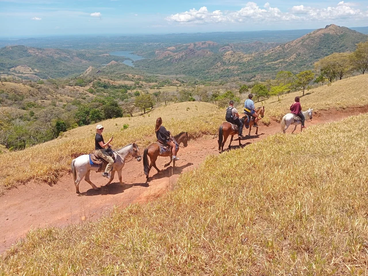
Chiriquí Province feels like an entirely different country compared to Panama City. Located in western Panama near the Costa Rican border, Chiriquí is dominated by mountains, cool climates, coffee farms, and agricultural valleys.
The province is home to Boquete, one of Panama’s best known mountain towns. Boquete became famous for coffee production, hiking, cloud forests, and its cooler weather, which feels dramatically different from Panama’s humid lowlands. The region attracts backpackers, retirees, birdwatchers, and nature lovers from around the world.
Chiriquí also contains Volcán Barú, the highest mountain in Panama. On clear mornings from the summit, it is sometimes possible to see both the Pacific Ocean and the Caribbean Sea simultaneously. The province’s fertile volcanic soil supports large agricultural industries producing vegetables, fruits, and coffee consumed throughout Panama.
Outside the tourist areas, Chiriquí remains strongly connected to farming and ranching culture. Rural towns, cattle pastures, and agricultural communities shape much of daily life across the province.
Bocas del Toro Province
Bocas del Toro Province sits on Panama’s Caribbean side and possesses one of the most distinct atmospheres in the country. The province consists largely of islands, coastal rainforest, and Caribbean communities strongly influenced by Afro Caribbean culture.
The most famous destination is Bocas del Toro, particularly Isla Colón. The islands attract backpackers, surfers, divers, and travelers seeking beaches, nightlife, snorkeling, and tropical island life. Boats and water taxis dominate transportation between communities.
Bocas has a rhythm entirely its own. Reggae music drifts through towns, Caribbean cuisine appears everywhere, and tropical rainstorms regularly sweep across the islands. English based Caribbean dialects mix with Spanish, reflecting the province’s unique cultural history.
Away from tourism, large sections of Bocas remain covered in rainforest and indigenous territories. Wildlife is abundant, including sloths, monkeys, dolphins, frogs, and tropical birds.
Colón Province
Colón Province occupies much of Panama’s Caribbean coastline near the Atlantic entrance of the canal. Historically, Colón became enormously important because of shipping, trade, railroads, and canal activity.
The city of Colón once served as one of the most important trade hubs in the hemisphere. The province still plays a major economic role through ports, shipping infrastructure, and the Colón Free Trade Zone, one of the largest duty free trade areas in the world.
At the same time, Colón Province contains beaches, rainforests, forts, and coastal communities with strong Afro Caribbean influence. Historic fortifications such as Fort San Lorenzo reflect the region’s long history of piracy, colonial conflict, and transatlantic trade.
Veraguas Province
Veraguas Province is geographically fascinating because it is the only province in Panama with coastlines on both the Pacific Ocean and the Caribbean Sea.
The province contains major agricultural areas, fishing communities, forests, and remote beaches. One of its most famous destinations is Santa Catalina, a small Pacific town known internationally for surfing and as the gateway to Coiba National Park.
Coiba itself is one of Panama’s most important marine protected areas. The island once housed a notorious prison colony, which unintentionally preserved much of the surrounding ecosystem by limiting development for decades. Today the waters around Coiba are famous for diving, sharks, whales, sea turtles, and marine biodiversity.
Large parts of Veraguas remain rural and less developed than Panama Province, giving the region a quieter and more traditional atmosphere.
Coclé Province
Coclé Province sits in central Panama and blends agriculture, beaches, mountains, and growing tourism development. The province is historically important for cattle ranching, farming, and traditional interior Panamanian culture.
Beach regions like Playa Blanca attracted resort development in recent decades, especially among domestic tourism and retirees. Inland areas contain smaller towns, agricultural communities, and archaeological sites linked to pre Columbian indigenous cultures.
Coclé also plays a major role in Panama’s folkloric traditions, including music, festivals, and traditional dress associated with the country’s interior provinces.
Herrera and Los Santos Provinces
Herrera Province and Los Santos Province are often considered the cultural heartland of traditional Panamanian identity.
These provinces are strongly associated with folklore, cattle ranching, traditional festivals, accordion music, rodeos, and rural customs. The region is sometimes referred to simply as “the interior,” representing a slower and more traditional side of Panama compared to the capital.
The famous Carnival of Las Tablas is one of the country’s largest and most important celebrations. During Carnival, the province transforms into an enormous festival filled with parades, music, costumes, and intense rivalries between competing social groups.
The dry climate and open landscapes of the Azuero Peninsula also distinguish these provinces from Panama’s wetter tropical regions.
Darién Province
Darién Province is perhaps the most remote and mysterious province in the country. Covered in dense rainforest and sparsely populated, Darién contains some of the wildest terrain in Central America.
The province is home to Darién National Park, a UNESCO World Heritage Site containing extraordinary biodiversity. Jaguars, tapirs, harpy eagles, monkeys, crocodiles, and countless other species inhabit the forests.
The Darién Gap, the famous break in the Pan American Highway between Panama and Colombia, lies within this region. Dense jungle, rivers, swamps, and mountains prevented road construction there for decades, contributing to the area’s legendary reputation.
Darién feels dramatically different from the rest of Panama. Travel becomes slower, infrastructure more limited, and nature far more dominant.
West Panamá Province
West Panamá Province is one of Panama’s newest provinces, created in 2014 from parts of Panamá Province.
Located immediately west of Panama City, the province grew rapidly due to suburban expansion and population growth. Many people live in West Panamá while commuting into the capital for work.
At the same time, the province also contains beaches, rural communities, and Pacific coastal regions that contrast sharply with the urban sprawl closer to the city.
Panamá Oeste’s Changing Identity
The rapid growth of West Panamá reflects broader changes happening across Panama itself. Modern highways, housing developments, shopping centers, and infrastructure projects continue expanding outward from the capital while rural and agricultural traditions remain strong in many surrounding areas.
This mixture of modernization and traditional life appears throughout Panama repeatedly.
And perhaps that is what makes the country so fascinating overall.
Every province reveals a different version of Panama. Caribbean islands feel disconnected from mountain coffee towns. Remote jungle provinces feel worlds away from Panama City skyscrapers. Traditional cattle ranching regions coexist beside international shipping infrastructure and financial districts.
The country constantly changes personality as you move through it.