
Stretching from the towering volcanic peaks of central Mexico to the misty mountains of western Panama lies one of the most spectacular chains of volcanoes on Earth. This immense corridor forms part of the Pacific Ring of Fire, a vast horseshoe shaped belt that wraps around the Pacific Ocean and contains roughly three quarters of the planet's active volcanoes. Here, deep beneath the surface, the enormous Cocos Plate slowly dives beneath the North American, Caribbean, and Panama tectonic plates in a process known as subduction. The tremendous pressure generated by this collision melts rock deep within the Earth, creating reservoirs of magma that slowly rise toward the surface. Over millions of years this relentless geological process has built hundreds of volcanoes, many of which continue to shape the landscape today. Some erupt regularly with fountains of glowing lava and towering ash clouds, while others have slept peacefully for centuries, their fertile slopes now covered by forests, coffee plantations, villages, and ancient archaeological sites. Together these volcanoes have influenced everything from climate and agriculture to mythology, biodiversity, and human civilization. They provide fertile volcanic soils that feed millions of people, create breathtaking scenery that attracts visitors from around the world, and serve as constant reminders that the Earth beneath our feet is still very much alive.
Mexico begins this volcanic journey with some of the most famous and awe inspiring volcanoes in the Americas. Dominating the skyline southeast of Mexico City is Popocatépetl, whose name comes from the Nahuatl language and means "Smoking Mountain." Rising more than 5,400 meters above sea level, it is the second highest volcano in Mexico and one of the country's most active. Even today, Popocatépetl frequently sends columns of ash and steam thousands of meters into the sky, occasionally forcing airport closures and reminding nearby residents that the giant remains restless. Ancient Aztec legends transformed Popocatépetl into a heroic warrior who stands eternal watch beside his beloved princess, the neighboring volcano Iztaccíhuatl. According to the legend, the warrior never abandoned his fallen love, and together the two mountains became immortal guardians overlooking the Valley of Mexico. This combination of geology, mythology, and breathtaking scenery makes Popocatépetl one of the most iconic volcanoes in the Western Hemisphere.
Nearby stands the elegant silhouette of Iztaccíhuatl, often called the Sleeping Woman because its snow covered ridges resemble a woman lying on her back when viewed from a distance. Although dormant for thousands of years, its glaciers, alpine forests, and rugged climbing routes make it one of Mexico's most beloved mountains. Towering over both is the country's highest volcano, Pico de Orizaba, also known as Citlaltépetl. Rising to nearly 5,700 meters, this dormant stratovolcano is the third highest mountain in North America. Its permanently snow covered summit can sometimes be seen from more than one hundred kilometers away, serving as a magnificent landmark visible across eastern Mexico. Climbers from around the world attempt its icy summit each year, experiencing landscapes that shift from tropical forests to alpine tundra and finally to glaciers in a single ascent.
Farther south the volcanic backbone continues into Guatemala, a country often considered the volcanic heart of Central America. Few places on Earth offer such a dramatic concentration of beautiful volcanoes. The undisputed superstar is Volcán de Fuego, whose name translates simply as "Volcano of Fire." True to its name, Fuego ranks among the most continuously active volcanoes on the planet. It frequently erupts with spectacular explosions that launch incandescent lava, glowing rocks, and towering ash columns high above the surrounding landscape. At night, rivers of molten lava sometimes illuminate its slopes in brilliant shades of orange and red, creating one of the world's most unforgettable volcanic spectacles. The neighboring Acatenango has become famous among hikers because its summit offers front row seats to Fuego's explosive performances. Campers often spend the night watching eruptions every few minutes beneath a canopy of stars, an experience many describe as one of the greatest adventures in Central America.
Guatemala also boasts the stunning Volcán de Agua, which rises gracefully above the colonial city of Antigua. Despite its peaceful appearance today, historical floods originating from its slopes devastated early settlements during the Spanish colonial period. Nearby, Pacaya remains one of the country's most accessible active volcanoes. Visitors often hike across fresh lava fields, where steam escapes from cracks in still warm rock and, during periods of activity, marshmallows can even be toasted over volcanic heat escaping from the ground.
Crossing into El Salvador, volcanoes become even more deeply woven into the nation's identity. Despite being the smallest country in mainland Central America, El Salvador possesses more than twenty volcanoes packed into a remarkably compact landscape. The magnificent Santa Ana Volcano, also known as Ilamatepec, towers above emerald forests and coffee plantations. Its enormous summit crater contains a brilliant turquoise lake whose striking color results from dissolved volcanic minerals and chemical reactions beneath the surface. Nearby lies Izalco Volcano, once nicknamed the "Lighthouse of the Pacific." During the nineteenth and twentieth centuries it erupted so frequently that sailors navigating offshore used its glowing nighttime eruptions as a natural beacon while approaching Central America's Pacific coast.
Honduras contains relatively few volcanoes compared with its neighbors because much of the country's volcanic activity ceased millions of years ago. Nevertheless, volcanic landscapes still shape parts of western Honduras through ancient lava flows, mineral rich soils, and rugged mountain ranges that support thriving forests and coffee farms. While Honduras lacks towering active cones like Guatemala or Nicaragua, its geological history remains closely connected to the same tectonic forces responsible for creating the rest of Central America's volcanic chain.
Nicaragua, however, returns dramatically to the spotlight. Often called the Land of Lakes and Volcanoes, Nicaragua possesses one of the most impressive volcanic landscapes anywhere in the Americas. Running almost the entire length of the country is a spectacular chain of active volcanoes that rises beside enormous freshwater lakes and fertile agricultural valleys. Among them, Cerro Negro stands out for its youth. Born in 1850, it is one of the youngest volcanoes on Earth. Unlike the lush green mountains surrounding it, Cerro Negro remains almost entirely black, covered with loose volcanic ash and cinders that give it the appearance of another planet. Today adventurous visitors climb its slopes carrying specially designed boards before racing back down at remarkable speeds in the unique sport of volcano boarding.
Equally iconic is Concepción Volcano, whose nearly perfect cone rises dramatically from the waters of Lake Nicaragua on Ometepe Island. Formed by two volcanoes joined together within the lake, Ometepe has become one of Central America's most recognizable landscapes. Concepción remains active, while its neighboring volcano, Maderas Volcano, is dormant and cloaked in lush cloud forest filled with orchids, monkeys, colorful birds, and hidden waterfalls.
Costa Rica continues the volcanic chain with extraordinary beauty and accessibility. Volcanoes dominate much of the country's interior and have played a central role in creating its famous biodiversity. Towering above emerald forests is the magnificent Arenal Volcano. For decades Arenal ranked among the world's most active volcanoes, regularly producing lava flows, explosions, and glowing nighttime displays until entering a quieter phase in 2010. Its nearly symmetrical cone has become one of Costa Rica's defining images, surrounded by rainforests, waterfalls, hanging bridges, thermal hot springs, and extraordinary wildlife. The volcano's geothermal activity heats dozens of natural hot springs where visitors can soak while gazing toward the mountain that created them.
Nearby stands Poás Volcano, famous for possessing one of the largest active volcanic craters anywhere on Earth. Its enormous crater contains an acidic lake whose color changes dramatically from turquoise to pale green depending on volcanic gases and mineral concentrations. Steam vents constantly remind visitors that powerful forces continue working beneath the surface. Equally impressive is Irazú Volcano, whose summit rises above the clouds on clear mornings. From its highest viewpoints it is sometimes possible to glimpse both the Pacific Ocean and Caribbean Sea on the same day, a rare privilege made possible by Costa Rica's narrow geography.
Finally the volcanic chain reaches Panama, where its fiery journey gradually fades into the mountains bordering South America. Panama contains fewer volcanoes than its northern neighbors, yet it possesses one giant that towers above them all. Volcán Barú rises more than 3,400 meters above sea level and is the highest mountain in the country. Although dormant for centuries, Barú remains geologically young and is considered potentially active. Its fertile volcanic soils have helped create one of the world's greatest coffee producing regions around the town of Boquete, where cool mountain air nurtures the famous Geisha coffee that regularly commands record breaking prices at international auctions. Hiking to Barú's summit before sunrise has become one of Panama's greatest adventures. On exceptionally clear mornings, visitors standing atop the peak can simultaneously view both the Pacific Ocean and the Caribbean Sea, an astonishing sight found in very few places on Earth.
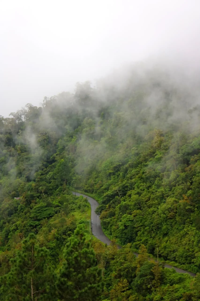
Panama also contains ancient volcanic highlands surrounding Barú that shape much of the province of Chiriquí. These mountains provide cool temperatures, abundant rainfall, fertile farmland, cloud forests filled with quetzals and other rare birds, and rivers that support hydroelectric power and agriculture. While Panama's volcanic activity is far quieter today than that of Guatemala or Nicaragua, the legacy of volcanism remains visible everywhere in the landscape, from rich black soils and dramatic cliffs to waterfalls, hot springs, and fertile valleys that support thriving farming communities.
Taken together, the volcanoes stretching from Mexico to Panama form one of Earth's greatest geological masterpieces. They have built entire mountain ranges from molten rock, created fertile valleys capable of sustaining millions of people, shaped climates, generated extraordinary biodiversity, and inspired myths, legends, religions, and scientific discoveries for thousands of years. Some remain violently active, reshaping the landscape with every eruption, while others sleep peacefully beneath forests, coffee plantations, and villages that owe their existence to ancient volcanic eruptions long since forgotten. For travelers, these volcanoes offer far more than beautiful scenery. They provide a journey through the very forces that built Central America itself, revealing how fire deep within the Earth continues to create, destroy, and transform one of the most spectacular regions on our planet. Standing upon any one of these magnificent peaks, whether beneath the smoking summit of Popocatépetl, watching glowing lava burst from Volcán de Fuego, gazing across the crater of Poás, or welcoming the sunrise atop Volcán Barú, it becomes impossible not to feel humbled by the immense geological power that has shaped this remarkable volcanic spine linking Mexico to the southern edge of Central America.